
Trace a Seguin Street by Address
Seguin street research is a chain of records, not a household roster. Guadalupe Appraisal District, or GAD, ties a situs address to a parcel and assessed owner. The city map adds geographic context, while recorded instruments connect ownership across time. The county voter-status form helps only after a person is already known because it requires an exact first name, last name, and date of birth.
Start with the current address and preserve each identifier. A legal description, Property ID, Geographic ID, subdivision, or lot and block may carry the trail between sources. A deed owner and a person at the address can differ, so date each observation.
- Search the address in the Guadalupe Appraisal District property search. Save the situs address, assessed owner, Property ID or Geographic ID, legal description, subdivision, and tax year.
- Open the City of Seguin Public Reference Application from its Maps and Addressing page. Search the address, turn on useful layers, then click the parcel and nearby parcels for feature information.
- Use the owner name and legal description in the Guadalupe County ROAM records search. Read the recorded instrument rather than assuming a deed of trust transferred ownership.
- When the relevant period is older, search the Guadalupe historic index books by party role, name, year, and instrument type. Check both grantor and grantee paths.
- For a known person, use the county voter lookup as a status check. For dated occupant evidence, use the library, newspapers, census, or a directory volume instead of treating a parcel record as a resident list.
Note: Keep a search date beside every address result because appraisal, map, and recorded-record updates do not all appear on the same schedule.
GAD Fields for Seguin Street Searches
GAD offers By Owner, By Address, ID, Advanced, and ARB search paths. For a difficult Seguin street directory search, its help guidance is unusually practical: remove the prefix, suffix, and unit number, then try the street name alone. A difficult owner search may work with only a first or last name. All visible fields are optional, so narrow results with a second fact instead of guessing at a full address format.
The property card can show an assessed owner, mailing address, values, exemptions, parcel identifiers, legal-description clues, and a map link. GAD says to verify legal descriptions and acreage, and notes that personal, mineral, and mobile-home property may not appear on its GIS map.
| GAD field | Search use | Format or caution |
|---|---|---|
| Street Number | Starts an address search | Optional in address and advanced modes. |
| Street Name | Finds a Seguin street | Enter no prefix, suffix, or unit number. |
| Owner Name | Checks an assessed owner | First or last name alone can be useful. |
| Property ID | Returns a known appraisal account | District-assigned number shown on an appraisal notice or tax bill. |
| Geographic ID | Connects map and tax identifiers | Available as an advanced field. |
| Subdivision or Neighborhood | Refines a street-area result | Autocomplete controls are visible. |
| Tax Year | Places appraisal data in time | Portal presents a year selector; exact range was not published in the inspected text. |
GAD can export a CSV or send results by Email. Organize a limited address study with it, but do not treat an export as a current occupancy list.
A GAD property-search view shows the owner, address, ID, property-type, and tax-year controls available to a Seguin street directory search.
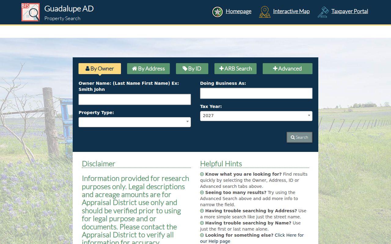
The visible controls support a careful address-first search, then a review of the resulting parcel record rather than a broad claim about everyone on a street.
Map a Seguin Street Parcel by Parcel
The City of Seguin Public Reference Application is the map portion of a street directory search. Its page describes a “Search for an Address” box at the upper left, a layer list, and feature information returned from a map click. Search the known address, activate parcel and relevant district layers, click the subject parcel, and record the ID or legal-description clue before moving to the next parcel.
City zoning is parcel-specific in the separate Zoning App. The Future Land Use Plan is a growth guide, not proof of current zoning. Open Data Seguin can add context, but the city cautions that not every data set is available. GAD also maintains parcel GIS with aerial, zoning, and flood-hazard layers.
The Seguin Maps and Addressing page links the city’s 911-addressing information, Zoning App, Future Land Use Plan, and Public Reference Application.
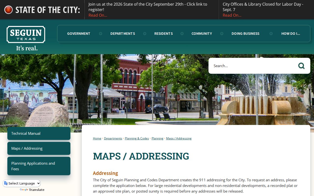
Use the map click as a bridge to a parcel identifier, then verify the parcel through GAD and recorded documents.
Seguin Mailing and Situs Addresses
Three labels prevent many false matches in a Seguin street directory. The situs address is where the parcel or building physically sits, and it is the address used by GAD and the city GIS. An owner mailing address is where tax or appraisal correspondence goes. It may be another property, a post-office box, a lender, an attorney, or a different town. A legal description identifies land through its abstract, survey, subdivision, lot and block, metes and bounds, or parcel identifiers.
- Parcel
- A defined piece of land used in appraisal and mapping records. A parcel may contain a home, vacant land, or another use.
- Situs address
- The physical address of the parcel or building, not necessarily the address where the owner receives mail.
- Plat
- A recorded map that lays out a subdivision, streets, lots, blocks, or easements.
- Criss-cross directory
- A historical directory arranged from address to occupant or business, when a local volume is available.
For a prior address, preserve nearby cross streets, subdivision, lot and block, and alternate street spellings. The city confirms that Planning and Codes administers 911 addressing, but the researched official material does not document a citywide renumbering. Do not treat a changed number as proof that the property or resident changed.
Follow a Seguin Street Through Deeds
The Guadalupe County Clerk is the custodian for deeds, plats, liens, and other recorded instruments. Begin the deed leg with the current owner and legal description from GAD. In ROAM, check the current owner as a grantee, identify the purchase deed, then search the seller as an earlier grantee. At each link, compare the legal description, recording date, instrument number, and prior reference. A street address alone can be misleading after subdivision changes or different address formats.
The clerk does not perform title searches, verify ownership, or offer legal conclusions. A deed of trust is a financing instrument, not an ownership transfer, so read the image before adding it to a chain.
The ROAM official-records search is the current-records starting point for a Seguin street directory deed trail.
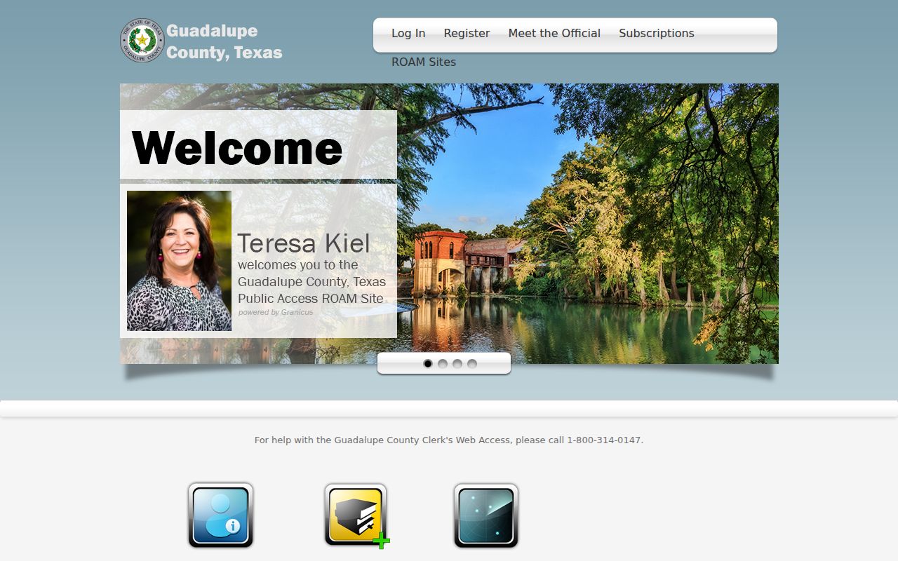
ROAM can locate the current instrument trail, while the legal description keeps the trail tied to the right parcel.
Seguin Deed Index Time Split
Seguin street research crosses two online index periods. ROAM reports current available records from 1970 forward. Its unofficial search and index access are free, while official images are available through pay-as-you-go access or subscriptions. The historic Kofile QuickLink books cover 1832 through 1970 and offer Type, Year, Parties, Last Name, and First Name controls. The overlap at 1970 is useful, but it does not turn either index into the official repository.
Older work may continue to the clerk counter, TSLAC reels, interlibrary loan, digitized FamilySearch material, or Seguin Public Library microfilm. Search direct and reverse grantor-grantee paths, use initials and spelling variants, and confirm each candidate by legal description.
The Guadalupe historic index-books search displays the historic field controls used after a street trail reaches the earlier record period.
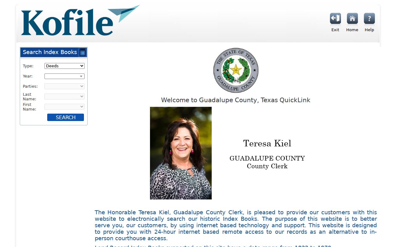
The historic interface is an index tool. The recorded volume, microfilm, or clerk-held record is still needed when an image or official copy is required.
Use Seguin Voter Checks Carefully
Guadalupe County’s voter-status lookup does not browse a street. It requires an exact first name, exact last name, and date of birth in the form’s required format for a positive result. The paired precinct lookup uses the same three fields. That makes the service a person-level confirmation after another record identifies someone, not a way to produce a street-by-street list.
Texas guidance distinguishes public and confidential voter information. A record may include a name, date of birth, voter unique identifier, and elections voted, but not ballot choices. Phone and identity-number fields are protected, and qualifying voters can have residence details withheld. A stale result calls for an Elections Office check.
Note: The county lookup reported an April 8, 2026 effective date during inspection, so record the date of any status result.
Seguin Street Directory Record Coverage
Each address-keyed source answers a narrow question. The street name can organize the search, but the source’s own identifier determines what it can actually prove. GAD and deeds concern the parcel and recorded ownership. GIS supplies feature and layer context. Permits may date a project. Historical directories and newspapers can provide dated occupant clues. Treat those clues as separate from current ownership.
| Address record | Local keeper | Useful Seguin detail | Access route |
|---|---|---|---|
| GAD parcel card | Guadalupe Appraisal District | Assessed owner, mailing and situs addresses, IDs, legal description, tax year, values, and exemptions. | Free portal or counter; verify appraisal data. |
| Public GIS feature | Seguin Planning and Codes | Address feature, parcel geometry, zoning, FLUP, flood, and district layers where available. | Public reference map; city says not all data appears there. |
| Recorded instrument | Guadalupe County Clerk | Parties, type, date, number, legal description, and related references. | ROAM from 1970 forward; historic index books from 1832 through 1970. |
| Plat or survey | County Clerk and archival collections | Subdivision formation, lot and block, easements, and metes-and-bounds clues. | Clerk records and TSLAC survey materials. |
| Permit or inspection | Seguin Development Services | Address, application, plan, permit, or inspection timing where released. | CSS account portal, Planning contact, or written PIA request. |
| Historic household clue | Seguin Public Library and archives | Directory, newspaper, census, school, or local-history evidence tied to a date. | Library room, microfilm, databases, or archival material. |
When the question shifts from an address chain to one named person, use the Seguin resident lookup for the person-level verification path rather than extending a parcel record beyond its limits.
Seguin Permit and Code Routes
Address-keyed permits and inspections can supply dates that a deed index does not. A permit number, application or inspection date, project description, or plan can date an addition, demolition, subdivision, or change of use. Seguin’s CSS system covers applications, plans, inspections, contractor registration, and invoices, but its complete public field list was not confirmed.
When a public search is unavailable, use Seguin Planning and Codes or a narrow written request under the Texas Public Information Act. Ask for a specific address, date range, and known permit number. The city’s Open Records Requests route is the city fallback; the County Clerk remains the source for recorded plats and deeds.
Seguin Address Geography Has Layers
Seguin Planning and Codes assigns city 911 addresses, while GAD appraises parcels across Guadalupe County jurisdictions. USPS postal delivery areas are another system. A location can therefore have a Seguin postal address, a county appraisal card, and a city or non-city regulatory trail. The city street label alone does not establish city limits, a ZIP code, a precinct, a taxing jurisdiction, or a service provider.
This distinction matters in newer subdivisions, county pockets, the historic core, and unincorporated delivery territory. For an old address, combine maps with plats, surveys, lot-and-block information, and historic newspapers. Official research identifies no citywide renumbering or renamed-street history, so mark a proposed match as unconfirmed until documents support it.
Note: City 911 addressing, appraisal identifiers, legal descriptions, and USPS delivery labels should be recorded separately in a Seguin address log.
Family Research on Seguin Streets
A street address can be a useful starting point for family-history research without becoming a claim about a current household. Seguin Public Library’s Local History Room has newspapers, tax rolls, yearbooks, census material, Sanborn reels, a microfilm machine, a genealogy computer, and licensed genealogy databases. Those sources can tie a dated address to a school, community notice, property event, or family name.
Historic newspaper titles need care. The library warns that Gazette and Gazette-Bulletin labels differ before November 13, 1952, while Gazette-Enterprise material after 2011 may be labeled Gazette after the title reverted. Record the roll title and date, inspect adjacent titles, and note gaps. Historical volumes belong with the Seguin Directory Book research path.
Limits of a Seguin Street Directory
A Seguin street directory cannot show everyone who lives at an address. Property records do not guarantee renters or household members. A parcel may be vacant, commercial, institutional, multi-unit, held by an entity or trust, or outside the city even when it shares a street label. GAD mailing addresses may identify where correspondence went, not who occupies the site.
Utility customer lists, delivery data, and motor-vehicle addresses are not ordinary public sources. Some voter information is protected, and a public map can omit personal, mineral, or mobile-home property. Keep separate columns for a parcel or recorded-owner fact and for any dated people clue. That preserves what the record says without turning a geographic connection into an unsupported identity claim.
Lawful use. Use Seguin street and address records for personal, lawful research and civic or family-history questions. Do not use an address trail to stalk, harass, intimidate, or harm anyone.